Bay Ridge Waterfront Living And Commutes Explained
July 2, 2026
July 2, 2026
If you are considering Bay Ridge, the waterfront can be a big draw. But the real question is not just whether the views are worth it. It is whether waterfront living fits the way you want to move through daily life. In Bay Ridge, a few blocks can change your housing options, your park access, and even the commute that makes the most sense. This guide breaks down what waterfront living in Bay Ridge actually looks like and how the neighborhood’s transit choices shape your decision. Let’s dive in.
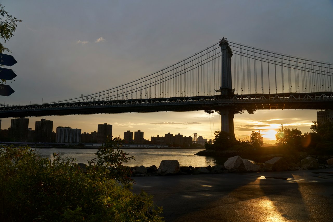
Bay Ridge’s waterfront centers on Shore Road Park and American Veterans Memorial Pier. According to NYC Parks, Shore Road Park runs alongside Shore Road and offers views of the Verrazzano-Narrows Bridge. The pier is also a well-known local destination, with views that stretch to the Statue of Liberty and the Manhattan skyline.
That setting gives the waterfront a distinct daily feel. If you live closer to Shore Road, you are likely near open park space, bridge views, and the kind of shoreline backdrop that feels different from many other Brooklyn neighborhoods. For many buyers and renters, that outdoor access is a major part of the appeal.
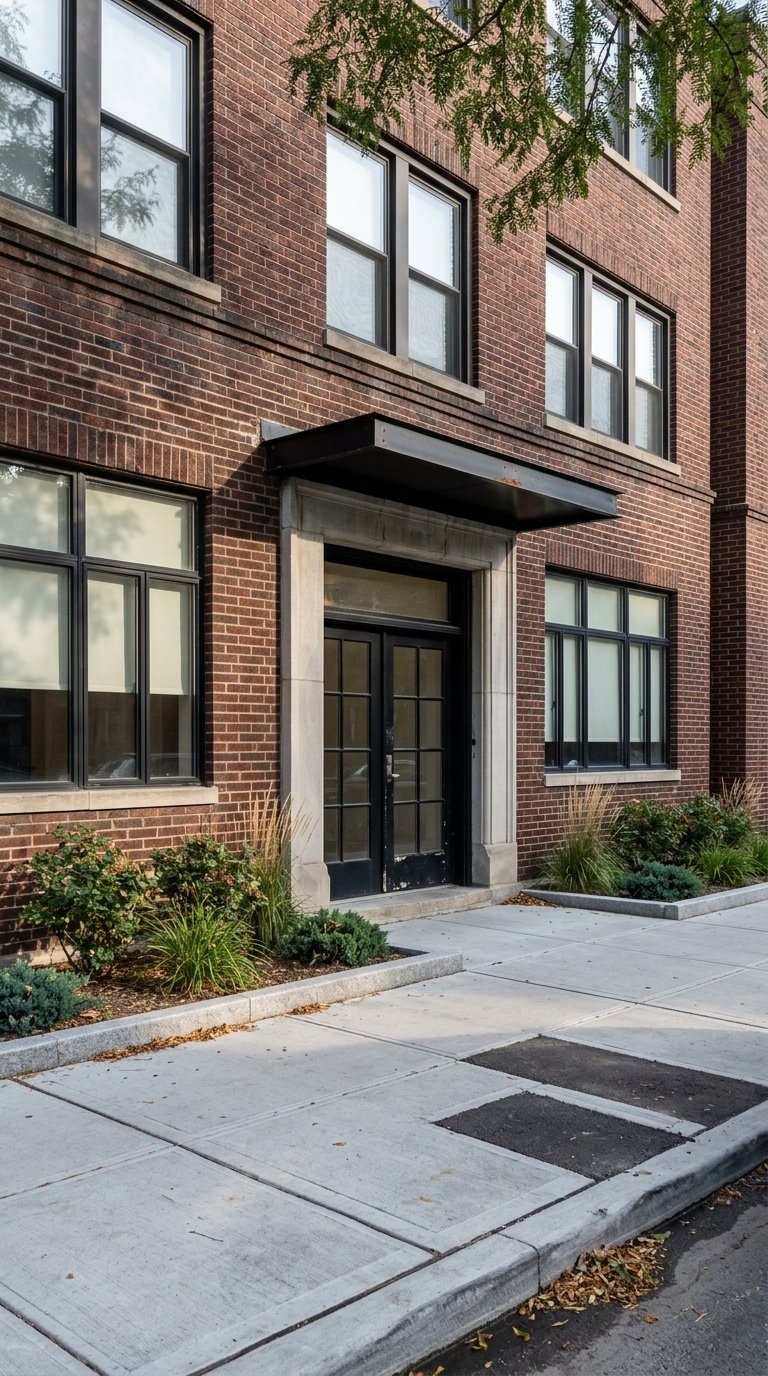
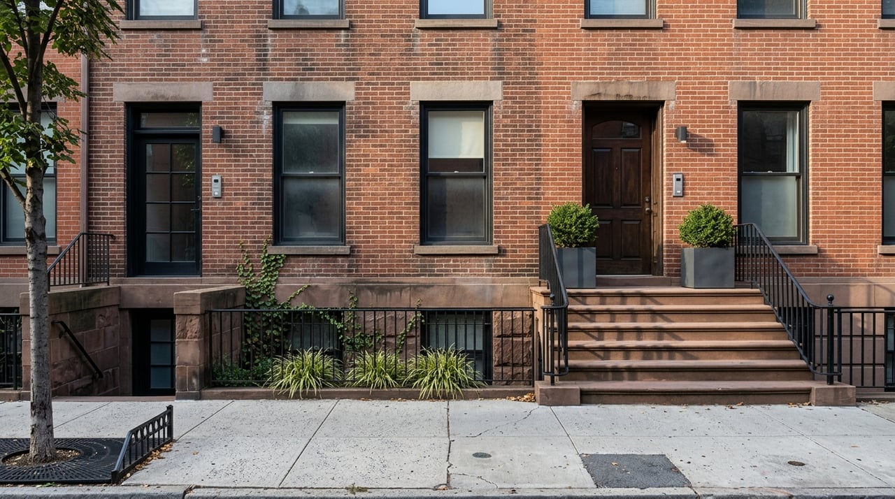
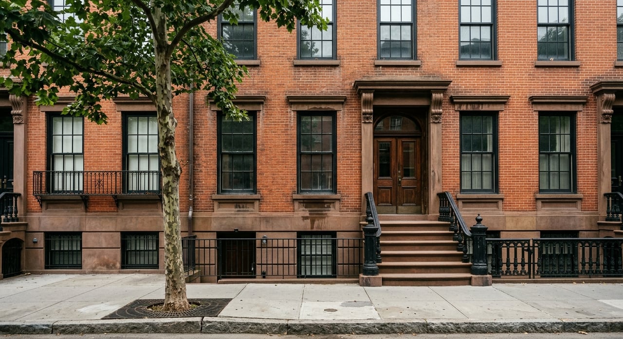
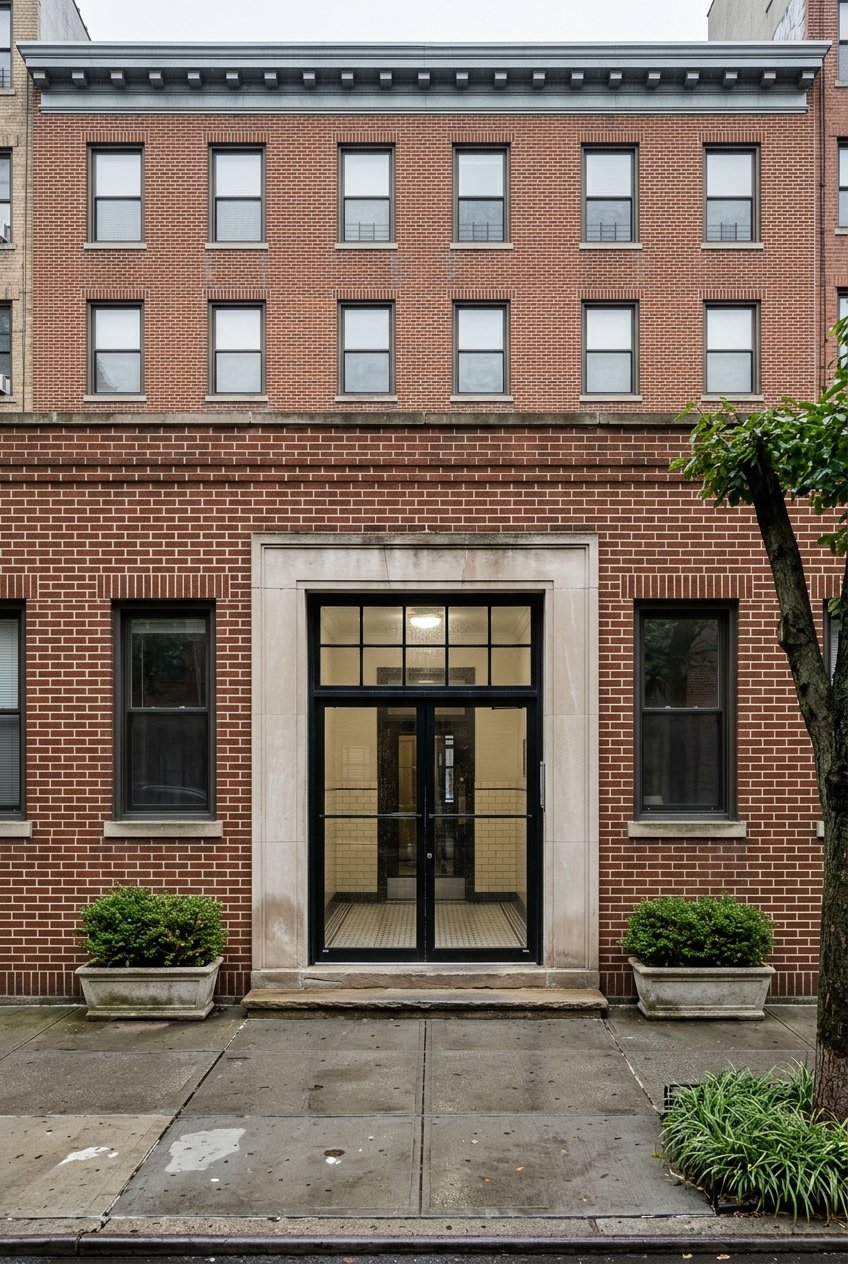
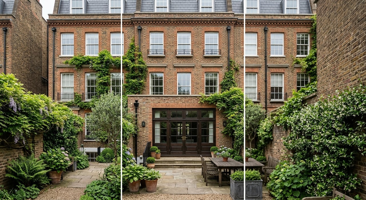
One of the most useful things to know about Bay Ridge is that it is not built in one uniform style. The 2005 Bay Ridge rezoning makes that clear by describing a mix of detached and semi-detached homes, rowhouses, and apartment corridors across the neighborhood. In other words, Bay Ridge waterfront living can mean very different things depending on where you land.
Closer to the waterfront and some larger corridors, the housing stock tends to be bigger in scale. The rezoning describes southern Shore Road from 87th Street to Third Avenue as predominantly six- to eight-story apartment buildings. It also identifies northern Shore Road and Ridge Boulevard as areas where six-story apartment buildings and mixed residential and commercial buildings predominate.
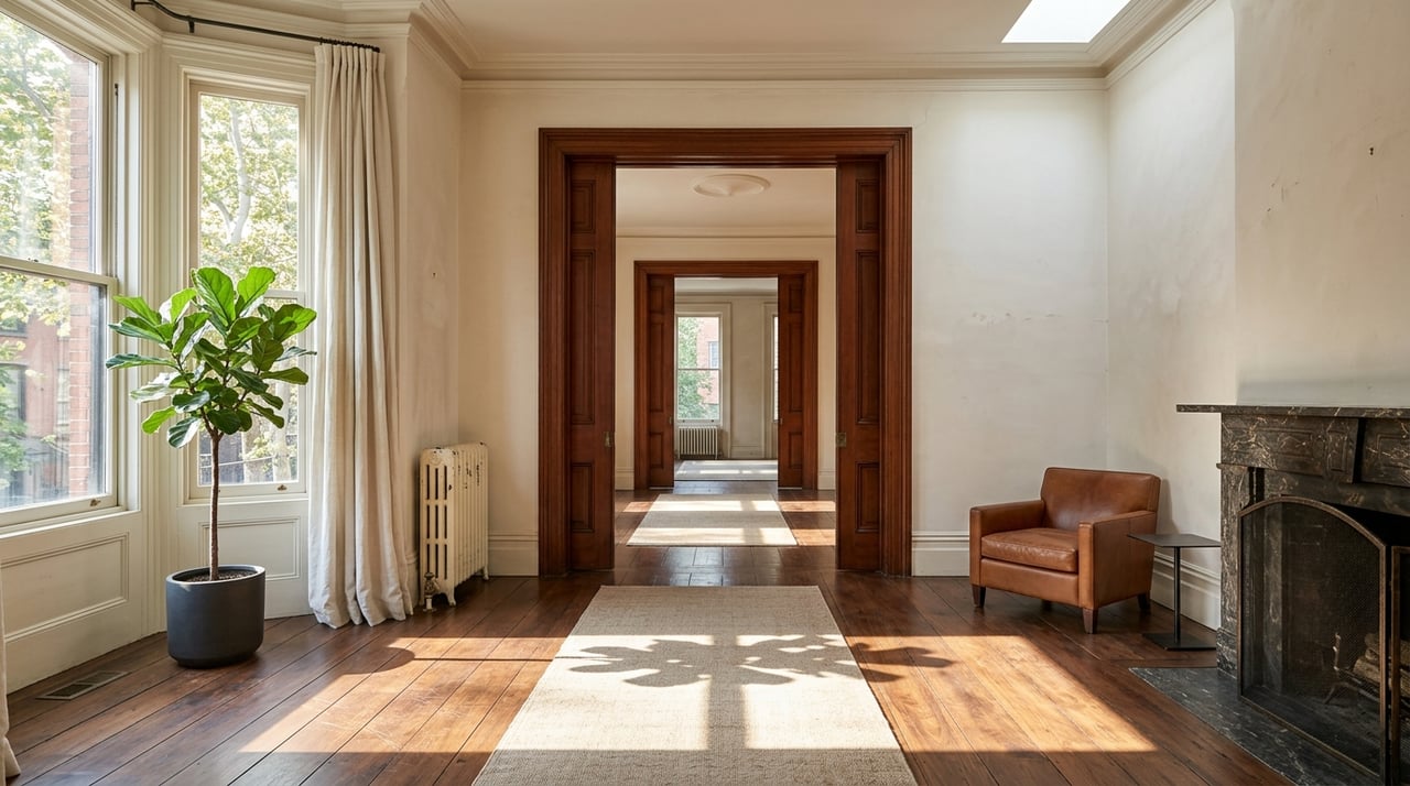
A short distance inland, the character changes. The same planning documents note that many midblocks east of Third Avenue, along with blocks southwest and northwest of Third Avenue, align more closely with lower-density detached and semi-detached housing. The Bay Ridge Parkway–Doctors' Row Historic District adds another layer, with two-story basement row houses built between 1906 and 1913 in an intact early 20th-century streetscape.
If you say you want to live “near the water” in Bay Ridge, it helps to define what that means to you. You may picture a larger apartment building near Shore Road with easier access to the ferry, express buses, and waterfront parks. Or you may want a lower-rise residential block a little farther inland, where the setting feels more tied to rowhouses and smaller homes.
That variation is not random. It reflects Bay Ridge’s long-standing zoning and preservation pattern, which was designed to match different residential contexts instead of forcing one building type across the whole neighborhood. For you, that means the right fit depends on whether you prioritize views and direct waterfront access, or a quieter inland street with a different housing style.
A common concern is whether choosing the waterfront means sacrificing convenience. In Bay Ridge, the current transit mix suggests you do not have to make that tradeoff in a simple way. The neighborhood offers several commute options, but each one tends to reward a different location and routine.
The R train remains a core option for many residents. Based on the current MTA subway timetable dated May 12, 2026, the R line serves Bay Ridge–95 St, 86 St, and 59 St, then continues through Downtown Brooklyn, Lower Manhattan, Midtown, and farther into Queens. That gives Bay Ridge a one-seat subway connection to several major job centers.
Express bus service is another important part of the picture. The MTA’s X27 and X37 timetable labels these routes as Bay Ridge to Manhattan express service via Shore Road. The stops include Bay Ridge locations along Shore Road and Bay Ridge Avenue, with Manhattan timepoints in Downtown Manhattan and Midtown, including East 42nd Street and East 57th Street/Madison Avenue.
Then there is the ferry, which is often the most scenic option. NYC Ferry’s South Brooklyn route serves Bay Ridge at American Veterans Memorial Pier. The route page lists approximate total travel times of 40 minutes on weekdays and 61 minutes on the weekend extension.
The best commute in Bay Ridge often depends on where your home sits in the neighborhood. Waterfront-adjacent homes may put you closer to the ferry landing and Shore Road bus stops. Homes farther inland are more likely to orient around the R train and the neighborhood’s avenue network.
That block-by-block difference matters in real life. If you want a morning routine with waterfront views and a ferry option nearby, living closer to Shore Road may align better with your priorities. If you want a more subway-centered routine, an inland location near the R line may feel more practical.
For some buyers and renters, the ferry is about more than commute time. It also adds a different rhythm to the day. The Bay Ridge landing at American Veterans Memorial Pier includes a covered waiting area, and the route page notes nearby access to the B9, B64, X27, X37, and the R train.
That combination can make the waterfront feel more connected than people expect. You are not just living near a scenic edge of the neighborhood. You are also near a transit node that ties together the ferry, bus routes, and nearby rail access.
Commutes matter, but so does what your neighborhood feels like when you are not traveling to work. Shore Road Park is a major part of Bay Ridge’s waterfront identity. NYC Parks describes it as a route with loops alongside Shore Road and views of the Verrazzano-Narrows Bridge, which helps explain why the area feels active and visually open.
American Veterans Memorial Pier adds another layer to that experience. It is described by NYC Parks as a popular fishing spot with views of the bridge, the Statue of Liberty, and the Manhattan skyline. For many residents, that means the waterfront is not just a backdrop. It is part of the way they spend time close to home.
Many people searching in Bay Ridge are really choosing between two versions of the same neighborhood. One version is centered on the shoreline, with parks, ferry access, and express bus service nearby. The other leans more toward inland residential blocks, lower-rise housing, and a daily routine shaped more directly by the subway and avenue network.
Neither option is automatically better. The better choice is the one that fits the way you want to live. If you care most about open views, park access, and having the ferry in the mix, the waterfront edge may stand out. If you want a different housing style or a block that feels more residential in scale, inland Bay Ridge may be a stronger match.
Bay Ridge can look straightforward on a map, but the lived experience changes quickly from block to block. The housing stock shifts. The transit habits shift. Even the role the waterfront plays in your daily life can change depending on whether you are right by Shore Road or several blocks east.
That is why local guidance matters when you start comparing homes here. A neighborhood-first approach can help you look beyond a listing and understand how a specific block connects to the parks, the ferry, the express bus, or the R train. In a place with this much variation, that context can make your decision much clearer.
If you are thinking about buying, selling, or renting in Bay Ridge, working with a brokerage that understands the neighborhood at the block level can save you time and help you focus on the version of Bay Ridge that truly fits your goals. If you want a personalized conversation about Bay Ridge housing, waterfront access, or commute tradeoffs, connect with Nat Guerriera.

Pen Realty greets clients with a devotion to seamless home sales and a professional promise to buy or list with expert confidence.
Get in Touch With Our Team to Learn More